Chart of Van Diemen's Land with Land Districts 1824
-
Title
-
Chart of Van Diemen's Land with Land Districts 1824
-
Description
-
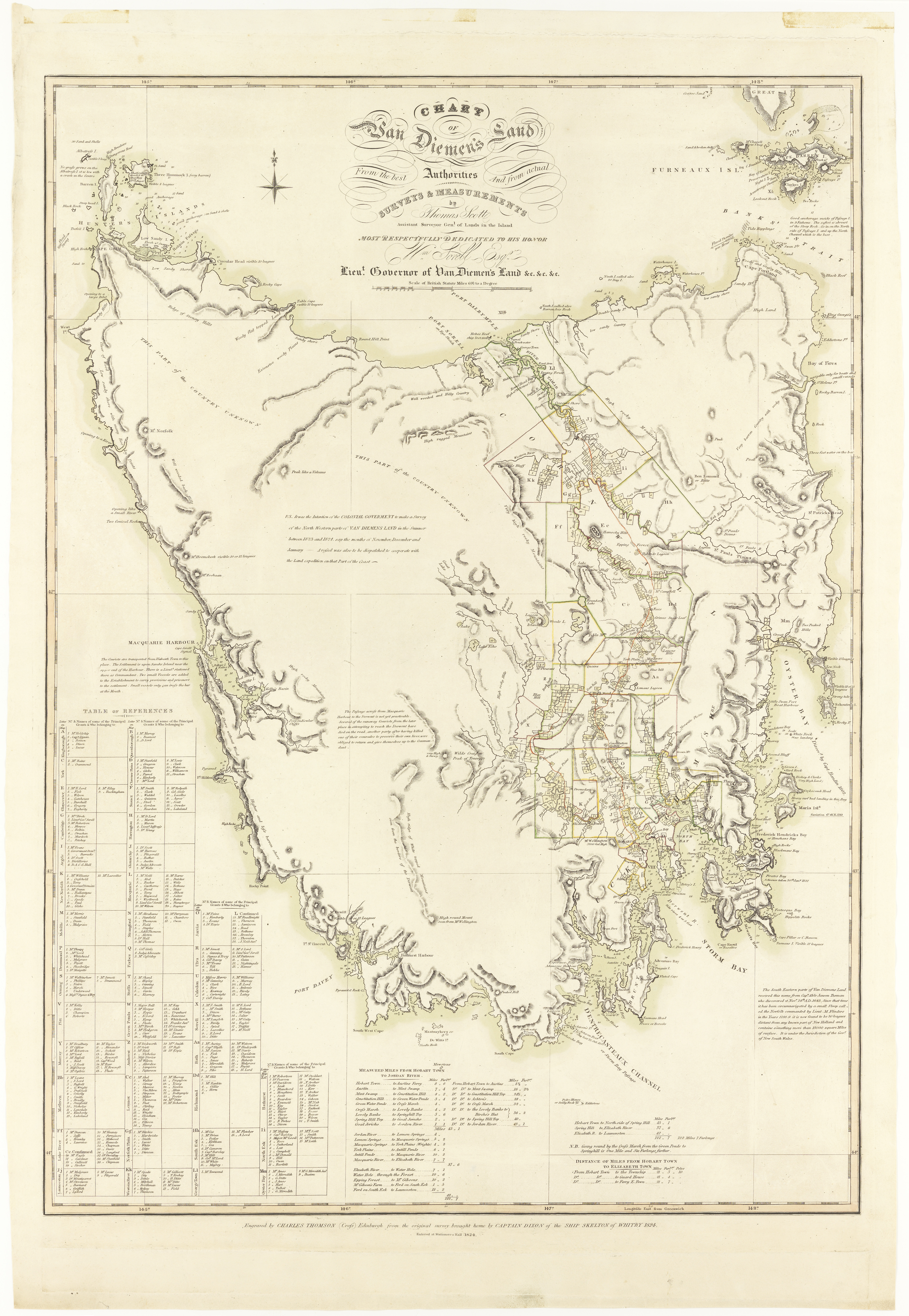
Chart of Van Diemen's Land from the best authorities and from actual surveys and measurements by Thomas Scott Assistant Surveyor General ; engraved by Charles Thompson (Cross) Edinburgh.
"from the original survey brought by Captain Dixon of the ship Skelton of Whitby 1824".
Map of Tasmania with land grant, distances from Hobart, comment on topography and settlement. Relief shown by hachures and bathymetric soundings.
Table of references with grants and owners.
Tooly 396.
Online version of original also available.
Electronic reproduction. Hobart : Tasmanian Heritage and Archive Office, 2011. Digital.
Exhibited: "Drawing the Line," May - Sept 2006.
Land Districts which are sometimes referred to in early Deeds are shown with coloured boundaries and labelled with a letter. Index to these is on the left. In Sorell these are Harrington (Sorell), Sussex (Forcett), Caledon (Orielton East), Gloucester (Pawleena), Ulva (Orielton West) and Cambridge (Penna)
-
Identifier
-
SD_ILS:543587
-
Creator
-
Charles Thompson
-
Contributor
-
Libraries Tasmania
 AUTAS139593842.jpg
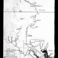 Old Land District Names