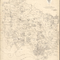
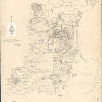
Land District Working Chart Manuscripts for PEMBROKE 2A and 2B 1931
-
Title
-
Land District Working Chart Manuscripts for PEMBROKE 2A and 2B 1931
-
Description
-
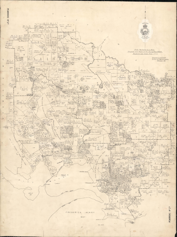
Pembroke 2A covers the western half of the Sorell Municipality and Pembroke 2B covers the eastern half. There are more charts of Pembroke to the north available
Copies of the Land District Charts were issued to other agencies and entities who used them to index land dealings of interest to the agency – for example, the former Mines Department and Forestry Department maintained their own index charts of surveys and interests in land relevant to the legislation they managed, as did the Recorder of Titles for indexing surveys and other dealings
The Survey Office printed a series of template charts for this purpose, called the Land District Chart Manuscripts [CPO Chart] .
-
Identifier
-
CPO MANUSCRIPT PEMBROKE2A
CPO MANUSCRIPT PEMBROKE2B
-
Creator
-
Compiled by E. P. Lovett
Drawn by R.M. Livingston
-
Contributor
-
Land Information System Tasmania
-
Rights
-
Download, print and otherwise reproduce the information for non-commercial purposes only.
-
Date Created
-
1931
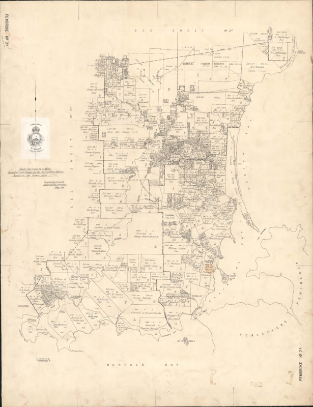
 Land District Working Chart Manuscripts for PEMBROKE 2 1894
 Pembroke 2A - Land District Working Charts from the Central Plan Office 1931
 Pembroke 2B - Land District Working Charts from the Central Plan Office 1931